Survey
Precision Survey
As standard practice, we use precision robotic instruments and efficiency enhancing software and survey practices to optimize our survey workflows. Data collected is quickly uploaded to our data management service for immediate reporting and presentation. Our experience lies in a wide range of survey applications, including: Construction as-built, Staking, Primary survey control, Terrain Mapping, Track and tunnel alignment verification.
Deformation Monitoring
Using automated survey instruments deployed in single or network configurations, we have demonstrated effective monitoring and detection of building, shoring, and utility deformation with geodetic level precision. Large civil construction projects oftentimes span large areas and have inherent challenges related to the changing construction environment and operation of equipment inside of the zone of influence of excavation, tunneling, and dewatering. We have a proprietary offering for wide area monitoring using both automated survey instruments and minimally constrained network adjustments that provides precise detection of movement for discrete monitoring points or larger scan areas.
Reflectorless Surface Monitoring
Roadway and surface deflections can be accurately monitored at the millimeter level using reflectorless measurements taken by an automated motorized total station. This method is very effective for monitoring of roadways and other inaccessible locations. Data processing filters automatically remove extraneous measurements of vehicles, heavy equipment, and pedestrians - and the remaining surface mesh can then be quickly processed and compared to baseline scans to identify spot, area, and profile deformations. Reflectorless measurements are safe, do not pose a risk to the traveling public, and are a very effective means of reducing the cost and risk of survey in travelways.
Ground Monitoring Survey
Using precision Shape Accel Arrays integrated with surface mounted survey reflectors, we can deliver a complete monitoring solution that ties surface and sub-surface monitoring into a single cohesive system. This approach provides a completely automated solution for ground subsidence and deflection in challenging and inaccessible locations common to construction projects in urban environments.
High Rise Survey
Precise vertical alignment of high rise structures is a challenging survey problem. Due to the nature of dynamically moving structures, without access to directly measure ground control when surveying placement of core wall forming systems pre and post pour - a high level of accuracy is a costly and labor intensive process. Using integrated GPS sensors, our survey methods provide a 30 - 50% increase in productivity and precise results, regardless of the height of the structure.
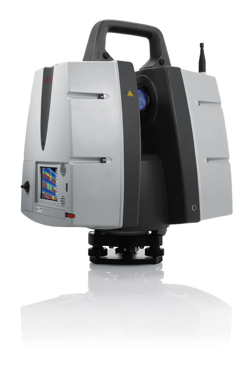
High Definition Scanning
Vibranalysis provides our clients with advanced terrestrial 3D laser scanning services with an emphasis on the highest standard in quality of project data and deliverables. Our 3D scanning services include data collection for Building Information Modeling (BIM) implementation; deformation studies; in-situ assessment of tunnels, roads, bridges and other infrastructure; and pre- and post-condition surveys for heavy civil construction. Together with photo documentation, high-definition scanning provides a comprehensive and defensible pre-condition survey of structures potentially impacted by demolition and construction activities.